![[Superseded]](figures/lifecycle-superseded.svg)
coord_map() projects a portion of the earth, which is approximately
spherical, onto a flat 2D plane using any projection defined by the
mapproj package. Map projections do not, in general, preserve straight
lines, so this requires considerable computation. coord_quickmap() is a
quick approximation that does preserve straight lines. It works best for
smaller areas closer to the equator.
Both coord_map() and coord_quickmap()
are superseded by coord_sf(), and should no longer be used in new
code. All regular (non-sf) geoms can be used with coord_sf() by
setting the default coordinate system via the default_crs argument.
See also the examples for annotation_map() and geom_map().
Usage
coord_map(
  projection = "mercator",
  ...,
  parameters = NULL,
  orientation = NULL,
  xlim = NULL,
  ylim = NULL,
  clip = "on"
)

coord_quickmap(xlim = NULL, ylim = NULL, expand = TRUE, clip = "on")
Arguments
- projection
projection to use, see
mapproj::mapproject()for list- ..., parameters
Other arguments passed on to
mapproj::mapproject(). Use...for named parameters to the projection, andparametersfor unnamed parameters....is ignored if theparametersargument is present.- orientation
projection orientation, which defaults to
c(90, 0, mean(range(x))). This is not optimal for many projections, so you will have to supply your own. Seemapproj::mapproject()for more information.- xlim, ylim
Manually specific x/y limits (in degrees of longitude/latitude)
- clip
Should drawing be clipped to the extent of the plot panel? A setting of
"on"(the default) means yes, and a setting of"off"means no. For details, please seecoord_cartesian().- expand
If
TRUE, the default, adds a small expansion factor to the limits to ensure that data and axes don't overlap. IfFALSE, limits are taken exactly from the data orxlim/ylim. Giving a logical vector will separately control the expansion for the four directions (top, left, bottom and right). Theexpandargument will be recycled to length 4 if necessary. Alternatively, can be a named logical vector to control a single direction, e.g.expand = c(bottom = FALSE).
Details
Map projections must account for the fact that the actual length
(in km) of one degree of longitude varies between the equator and the pole.
Near the equator, the ratio between the lengths of one degree of latitude and
one degree of longitude is approximately 1. Near the pole, it tends
towards infinity because the length of one degree of longitude tends towards
0. For regions that span only a few degrees and are not too close to the
poles, setting the aspect ratio of the plot to the appropriate lat/lon ratio
approximates the usual mercator projection. This is what
coord_quickmap() does, and is much faster (particularly for complex
plots like geom_tile()) at the expense of correctness.
See also
The polygon maps section of the online ggplot2 book.
Examples
if (require("maps")) {
nz <- map_data("nz")
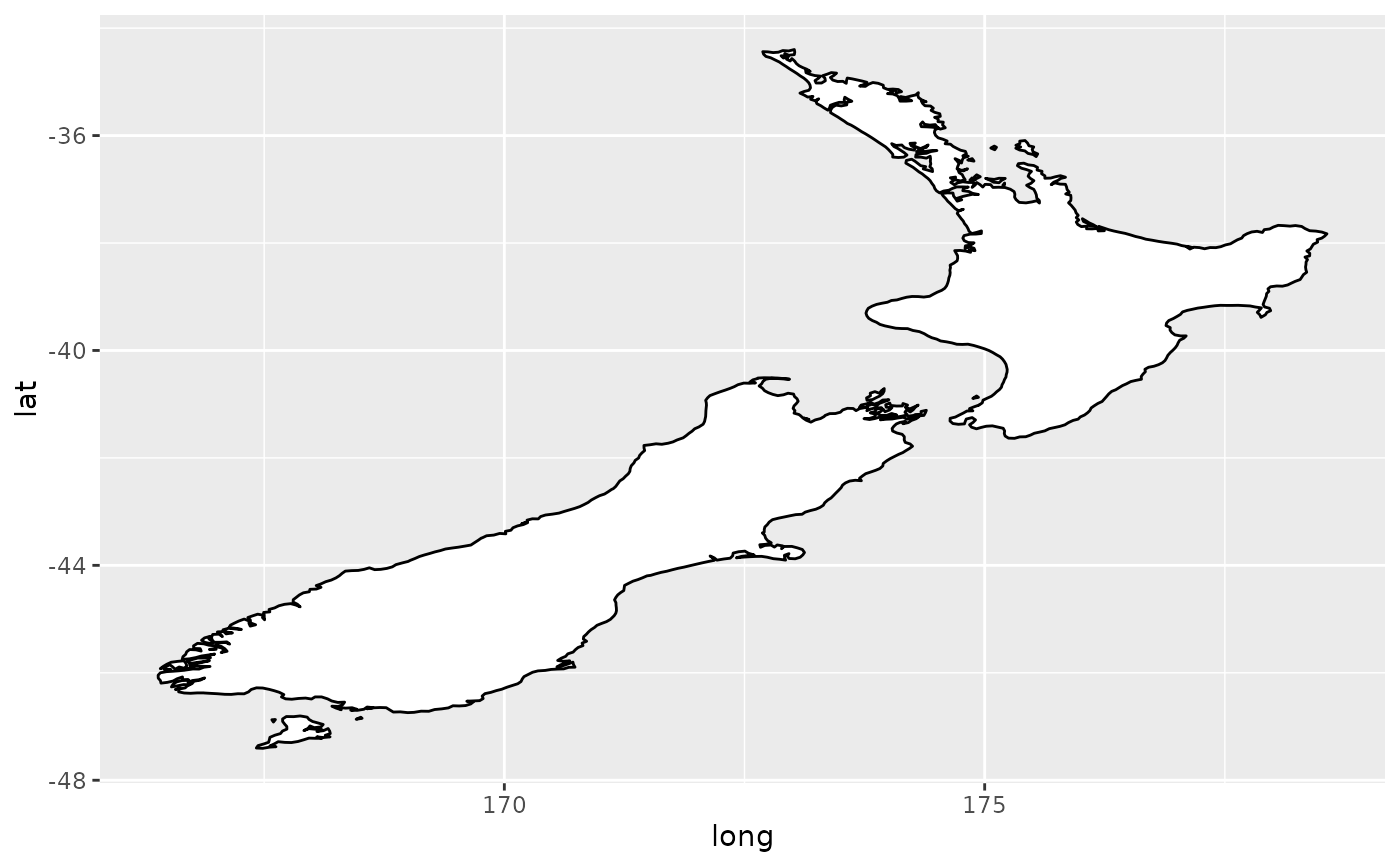
# Prepare a map of NZ
nzmap <- ggplot(nz, aes(x = long, y = lat, group = group)) +
geom_polygon(fill = "white", colour = "black")
# Plot it in cartesian coordinates
nzmap
}
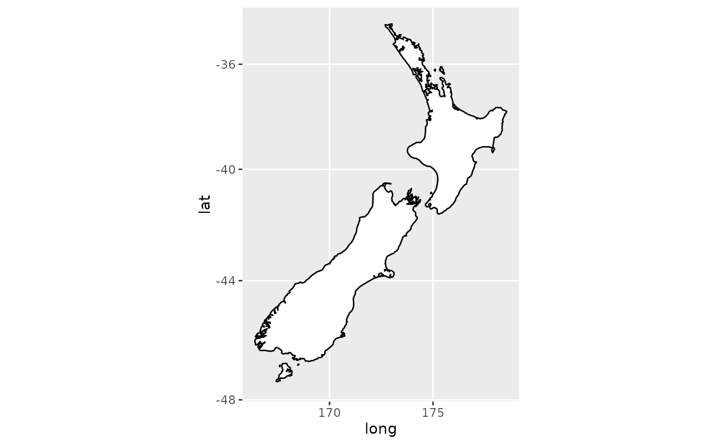
 if (require("maps")) {
# With correct mercator projection
nzmap + coord_map()
}
if (require("maps")) {
# With correct mercator projection
nzmap + coord_map()
}
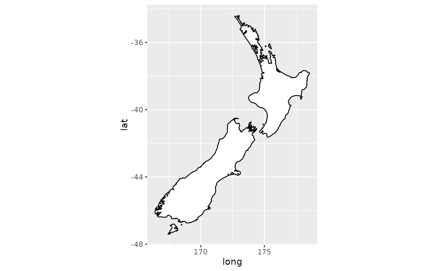
 if (require("maps")) {
# With the aspect ratio approximation
nzmap + coord_quickmap()
}
if (require("maps")) {
# With the aspect ratio approximation
nzmap + coord_quickmap()
}
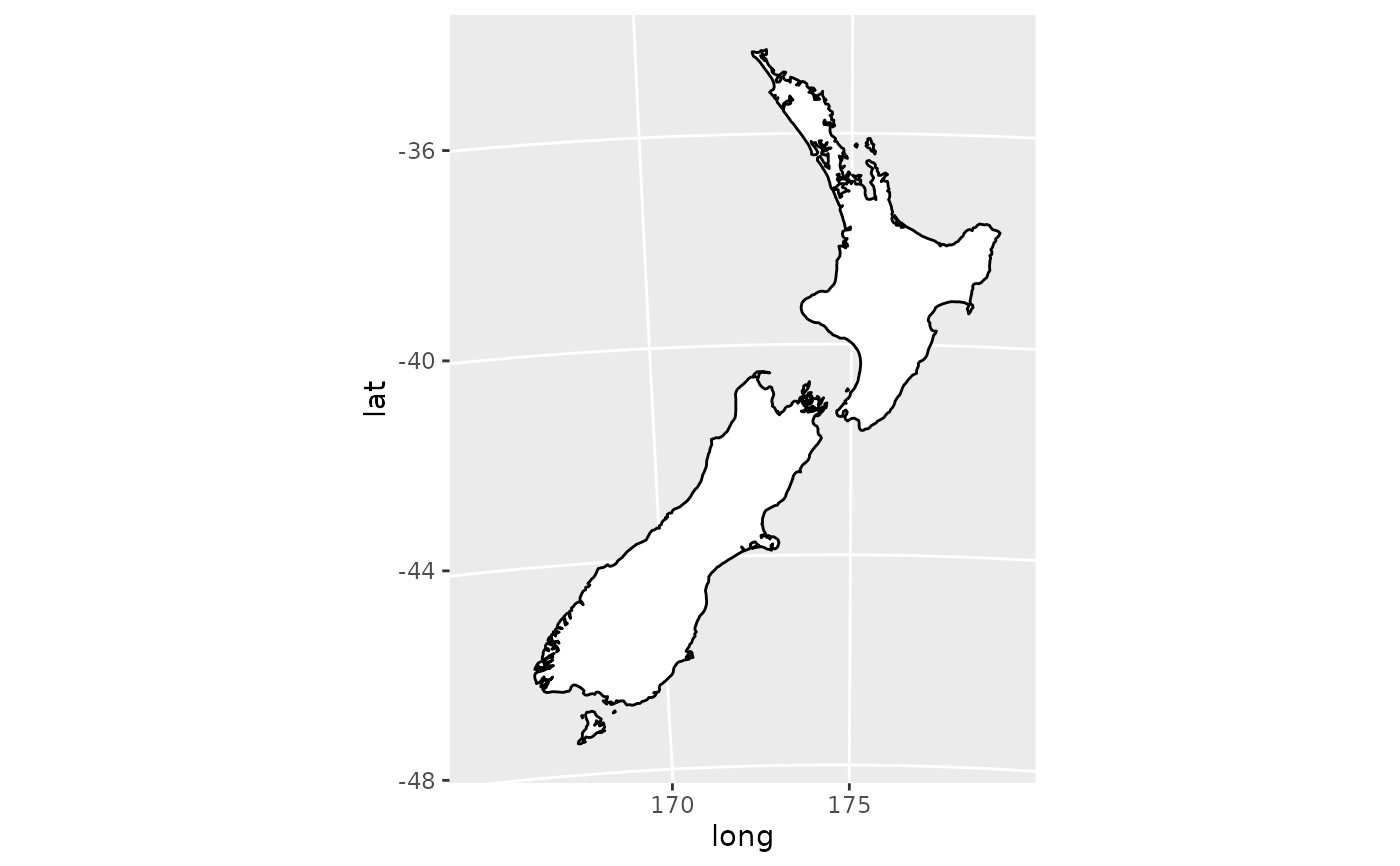
 if (require("maps")) {
# Other projections
nzmap + coord_map("azequalarea", orientation = c(-36.92, 174.6, 0))
}
if (require("maps")) {
# Other projections
nzmap + coord_map("azequalarea", orientation = c(-36.92, 174.6, 0))
}
 if (require("maps")) {
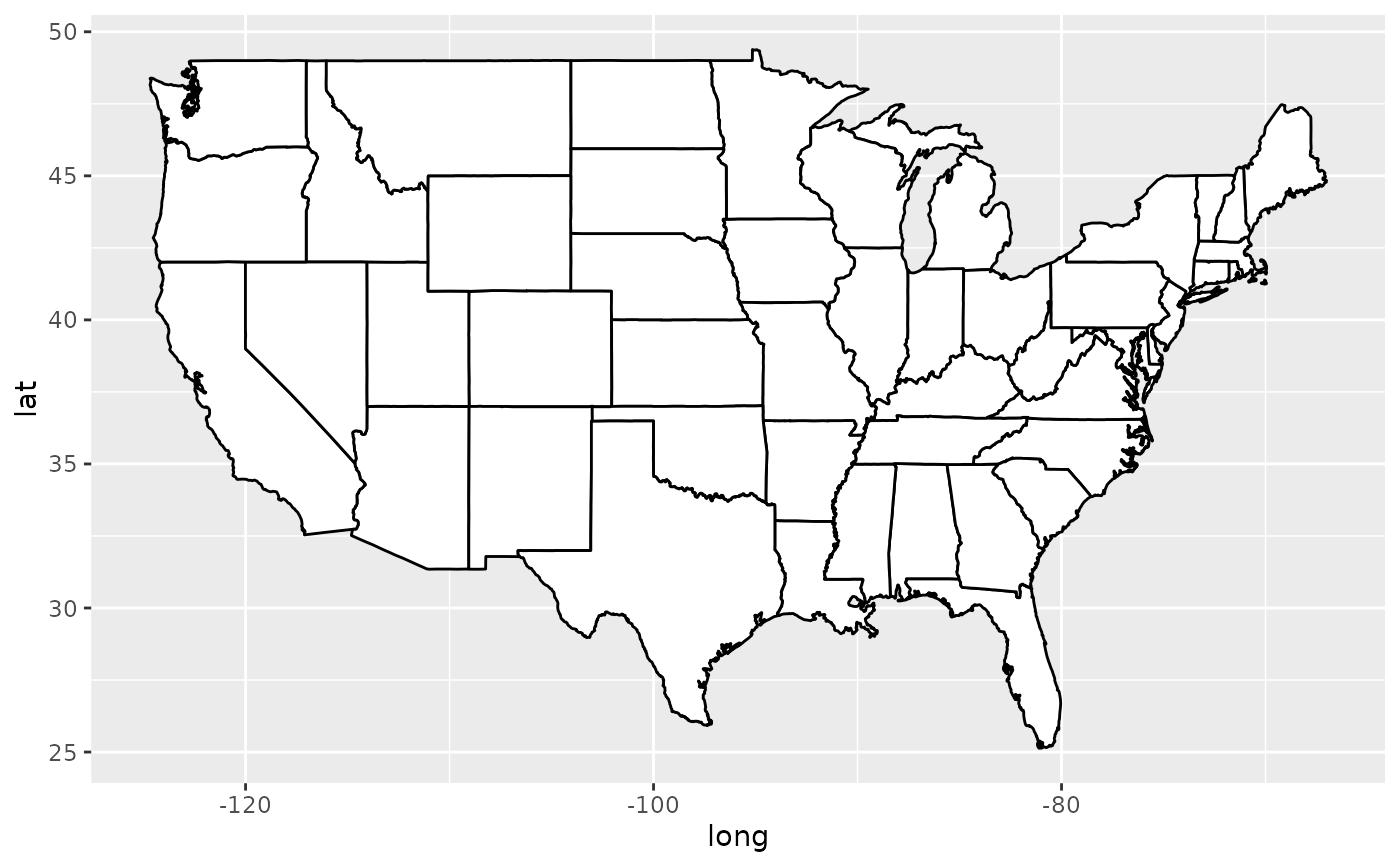
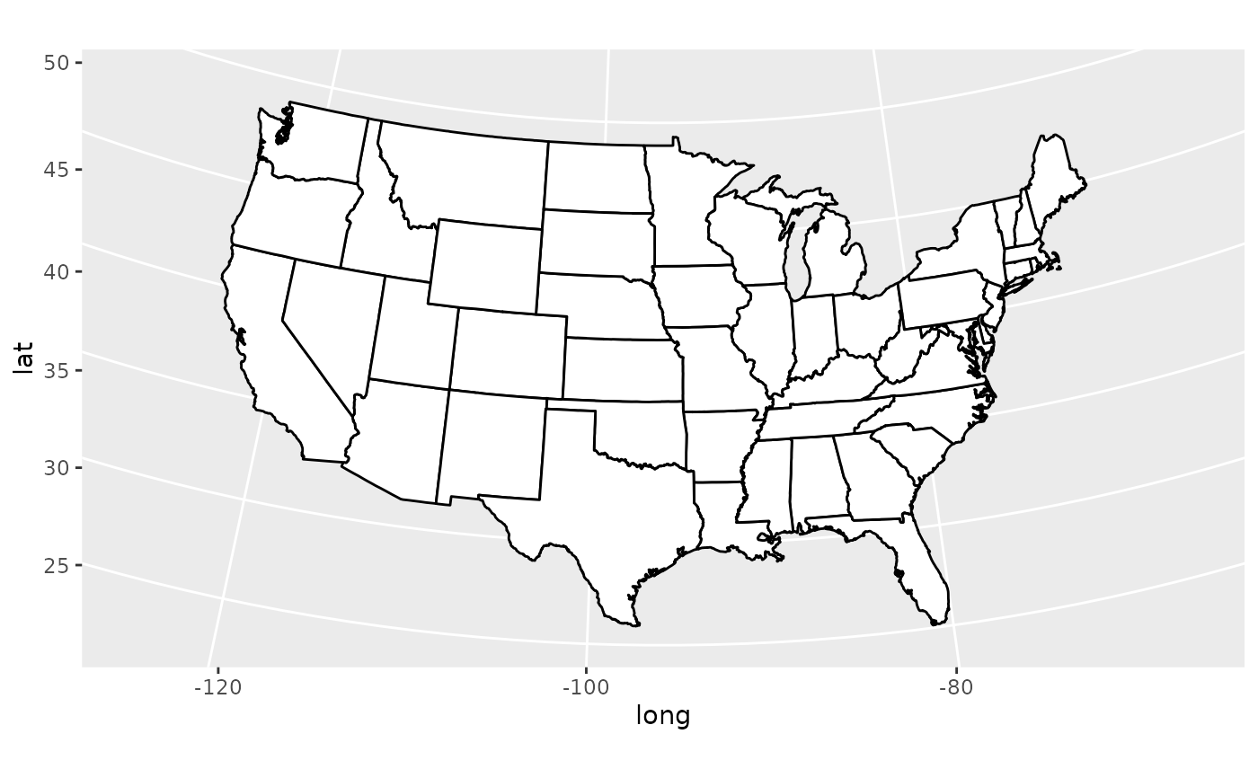
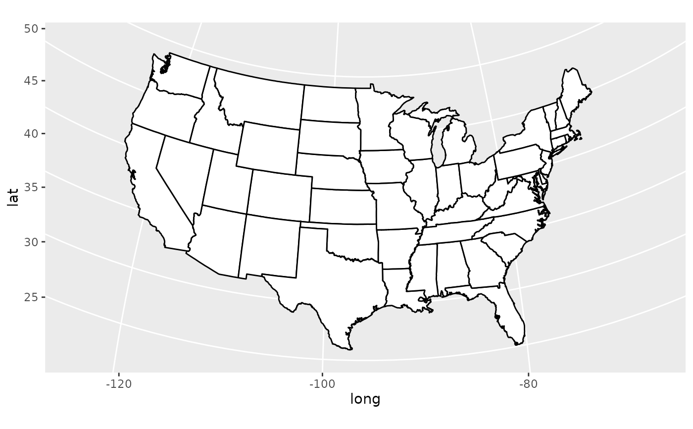
states <- map_data("state")
usamap <- ggplot(states, aes(long, lat, group = group)) +
geom_polygon(fill = "white", colour = "black")
# Use cartesian coordinates
usamap
}
if (require("maps")) {
states <- map_data("state")
usamap <- ggplot(states, aes(long, lat, group = group)) +
geom_polygon(fill = "white", colour = "black")
# Use cartesian coordinates
usamap
}
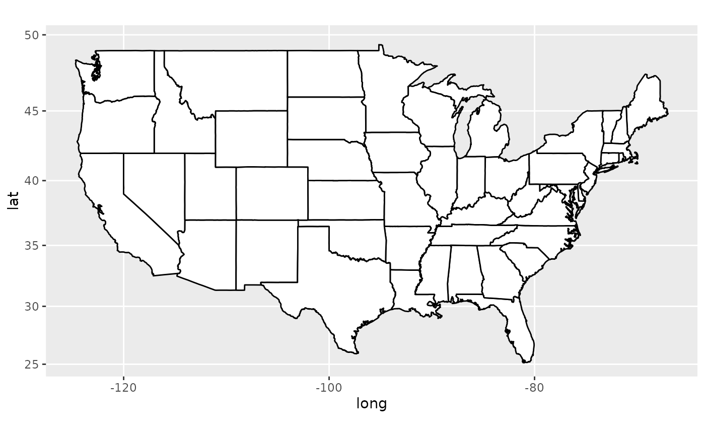
 if (require("maps")) {
# With mercator projection
usamap + coord_map()
}
if (require("maps")) {
# With mercator projection
usamap + coord_map()
}
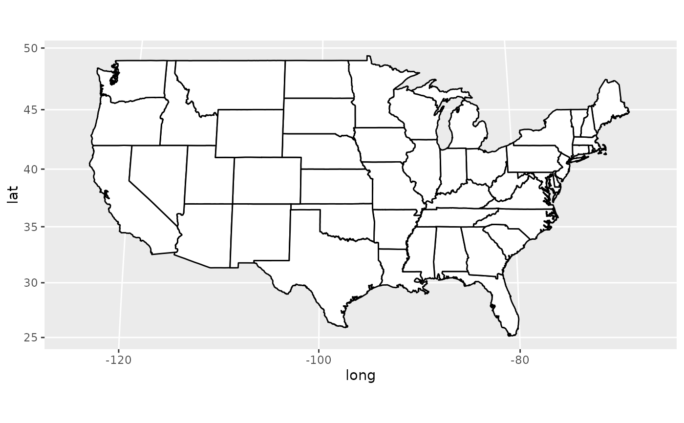
 if (require("maps")) {
# See ?mapproject for coordinate systems and their parameters
usamap + coord_map("gilbert")
}
if (require("maps")) {
# See ?mapproject for coordinate systems and their parameters
usamap + coord_map("gilbert")
}
 if (require("maps")) {
# For most projections, you'll need to set the orientation yourself
# as the automatic selection done by mapproject is not available to
# ggplot
usamap + coord_map("orthographic")
}
if (require("maps")) {
# For most projections, you'll need to set the orientation yourself
# as the automatic selection done by mapproject is not available to
# ggplot
usamap + coord_map("orthographic")
}
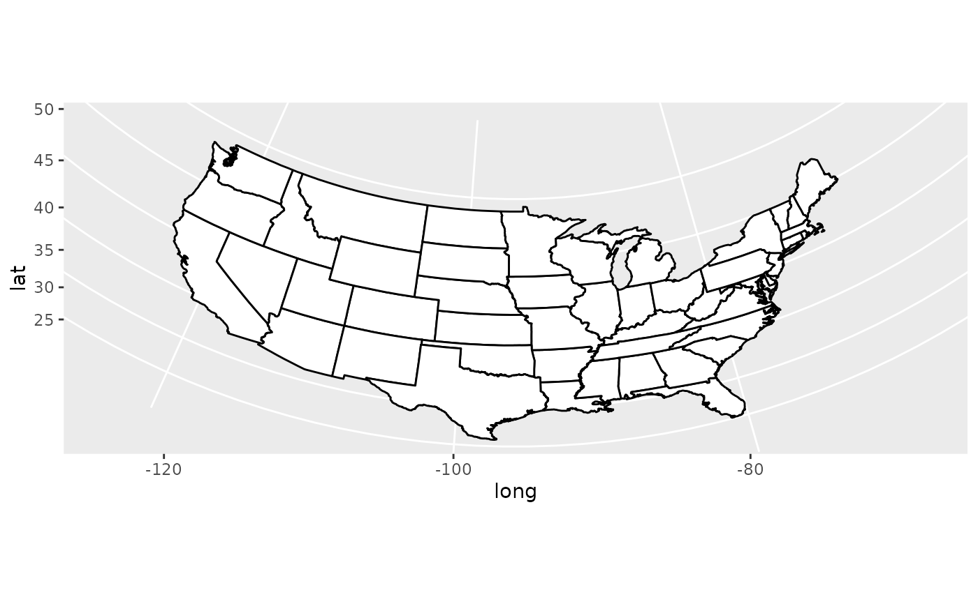 if (require("maps")) {
usamap + coord_map("conic", lat0 = 30)
}
if (require("maps")) {
usamap + coord_map("conic", lat0 = 30)
}
 if (require("maps")) {
usamap + coord_map("bonne", lat0 = 50)
}
if (require("maps")) {
usamap + coord_map("bonne", lat0 = 50)
}
 if (FALSE) { # \dontrun{
if (require("maps")) {
# World map, using geom_path instead of geom_polygon
world <- map_data("world")
worldmap <- ggplot(world, aes(x = long, y = lat, group = group)) +
geom_path() +
scale_y_continuous(breaks = (-2:2) * 30) +
scale_x_continuous(breaks = (-4:4) * 45)
# Orthographic projection with default orientation (looking down at North pole)
worldmap + coord_map("ortho")
}
if (require("maps")) {
# Looking up up at South Pole
worldmap + coord_map("ortho", orientation = c(-90, 0, 0))
}
if (require("maps")) {
# Centered on New York (currently has issues with closing polygons)
worldmap + coord_map("ortho", orientation = c(41, -74, 0))
}
} # }
if (FALSE) { # \dontrun{
if (require("maps")) {
# World map, using geom_path instead of geom_polygon
world <- map_data("world")
worldmap <- ggplot(world, aes(x = long, y = lat, group = group)) +
geom_path() +
scale_y_continuous(breaks = (-2:2) * 30) +
scale_x_continuous(breaks = (-4:4) * 45)
# Orthographic projection with default orientation (looking down at North pole)
worldmap + coord_map("ortho")
}
if (require("maps")) {
# Looking up up at South Pole
worldmap + coord_map("ortho", orientation = c(-90, 0, 0))
}
if (require("maps")) {
# Centered on New York (currently has issues with closing polygons)
worldmap + coord_map("ortho", orientation = c(41, -74, 0))
}
} # }